

BACKGROUND
Twice before I have had the opportunity to be in Yosemite but both times I felt like I didn’t truly get to experience the park the way it should be experienced. The first time was when I was guiding out west in 2013. We had just dropped the kids off in San Francisco and had to make our way back to Jackson Hole, Wyoming. After looking at the map and seeing how close we were to Yosemite, I was able to convince the other leaders with me to take the 3 to 4 hour detour to go into the park. The only problem was we were still on a time crunch, so all we could do was drive through, get out at an overlook, and stop at a gas station. Even that short time in the park was all it took to light a fire in me to want to return. Three years later I was lucky enough to pass back through on my way north on the Pacific Crest Trail. But once again my time there was short, and I did not get to hike down into The Valley. So when I had an opportunity to go back last year, I knew I had to make the most of it. Here is the route I decided to follow.

DAY ONE
TUOLUMNE MEADOWS TO LAKE CAMPSITE, 10 MILES & 1,925’ OF CLIMBING
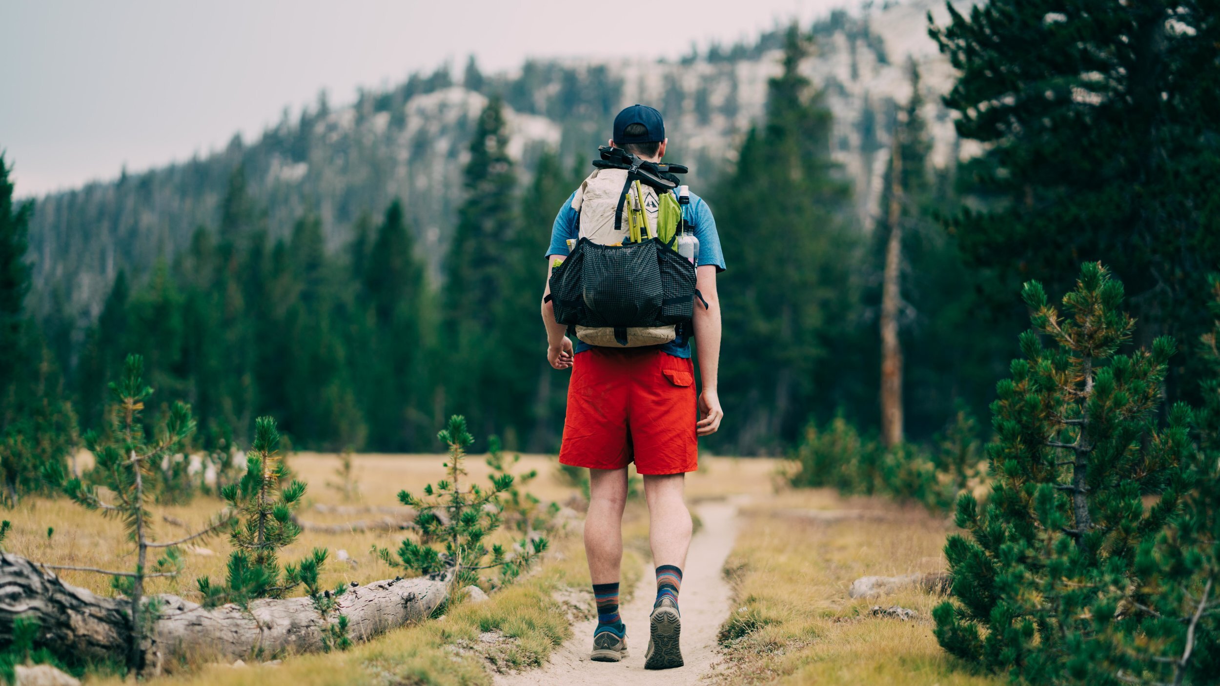
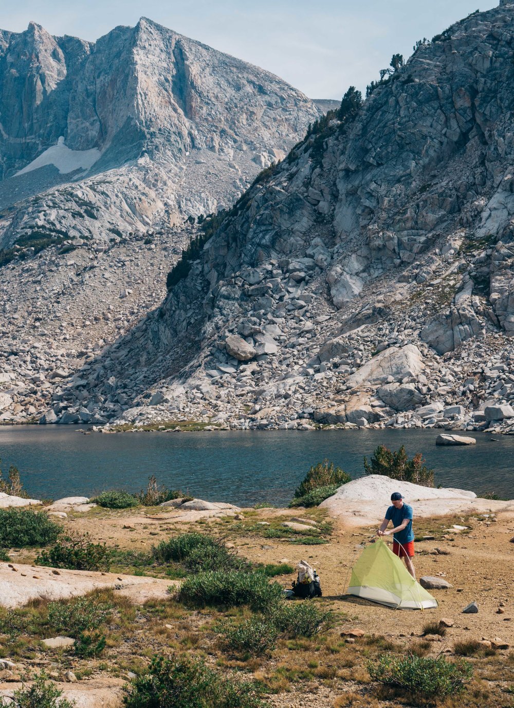
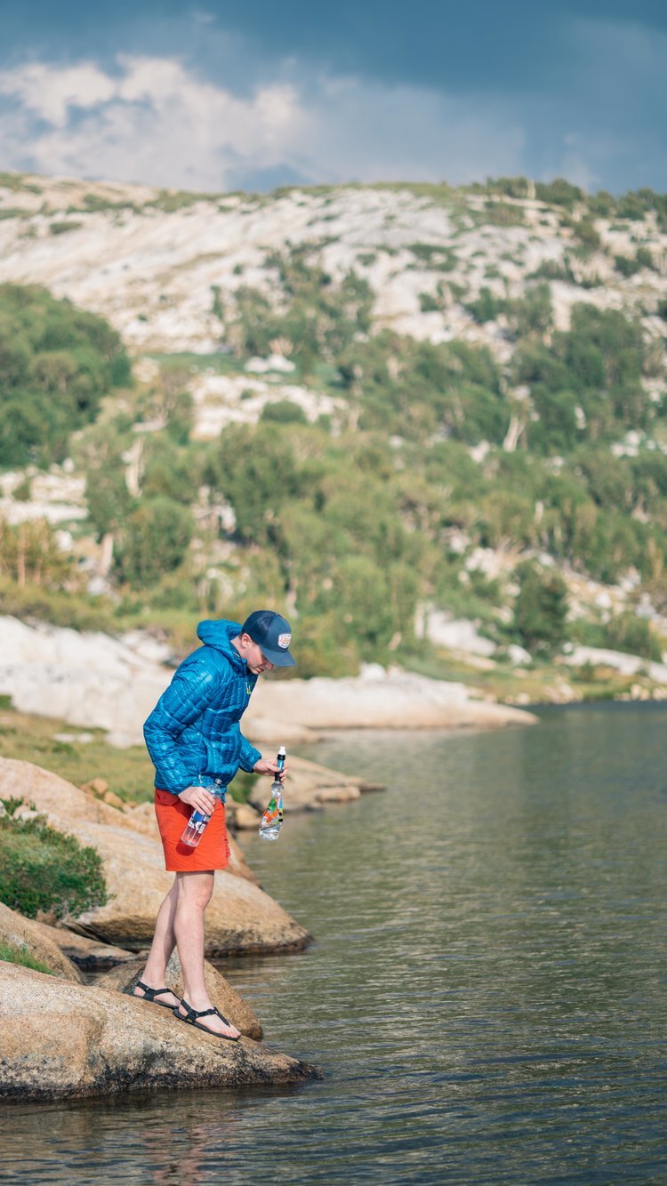
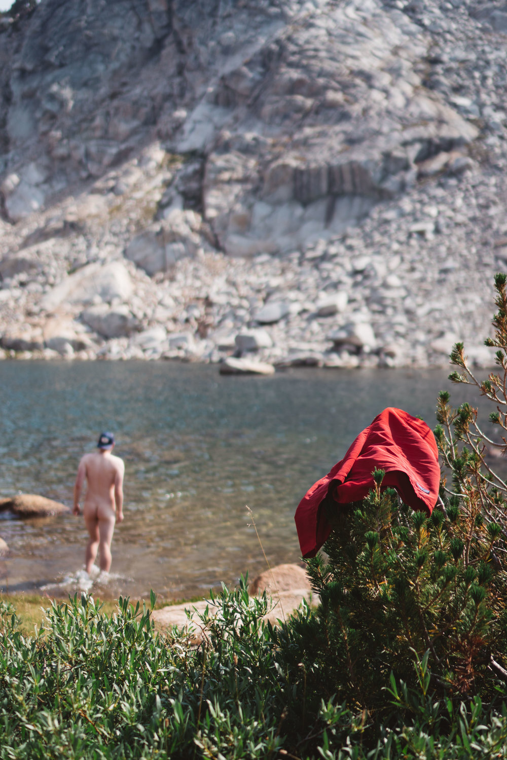
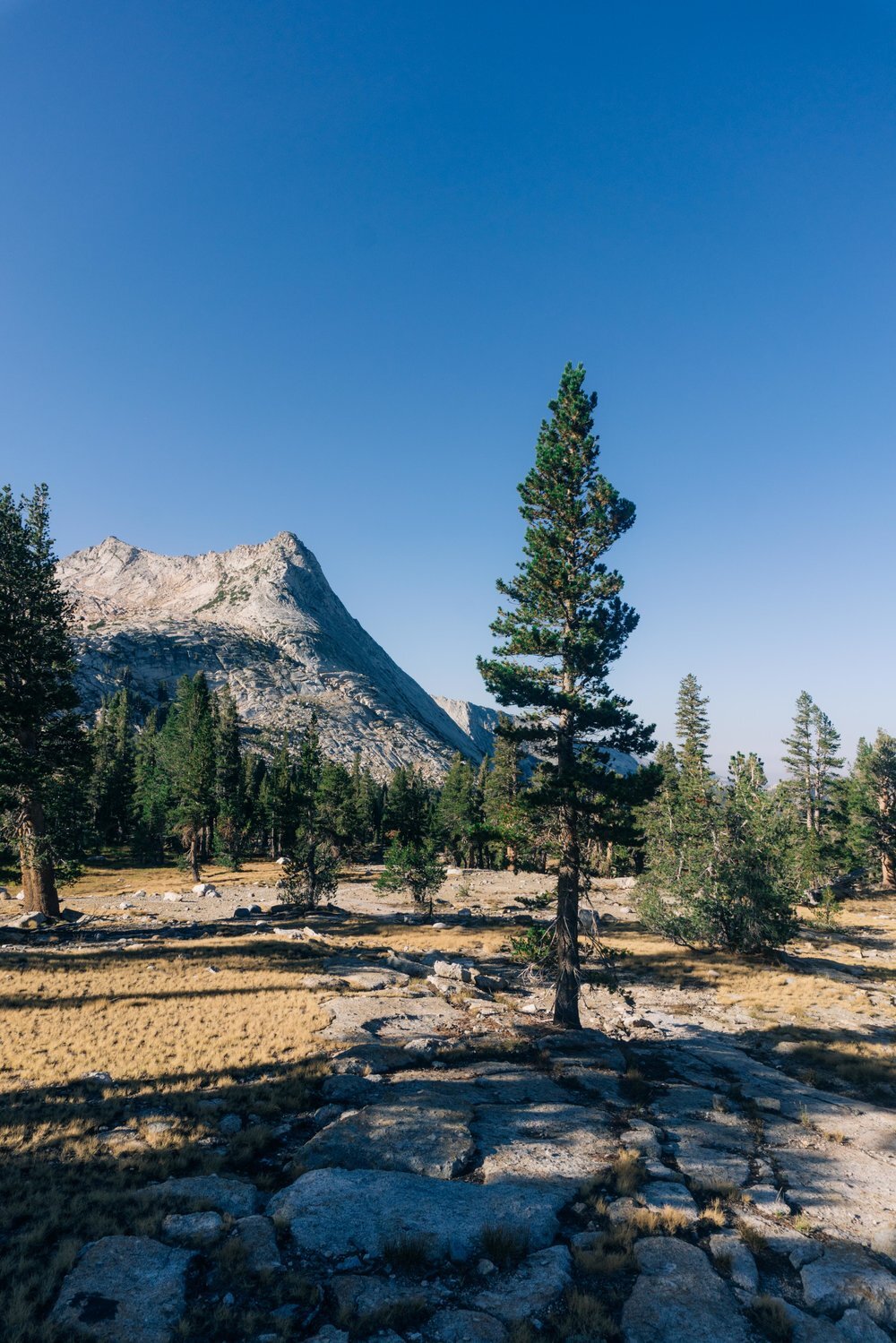
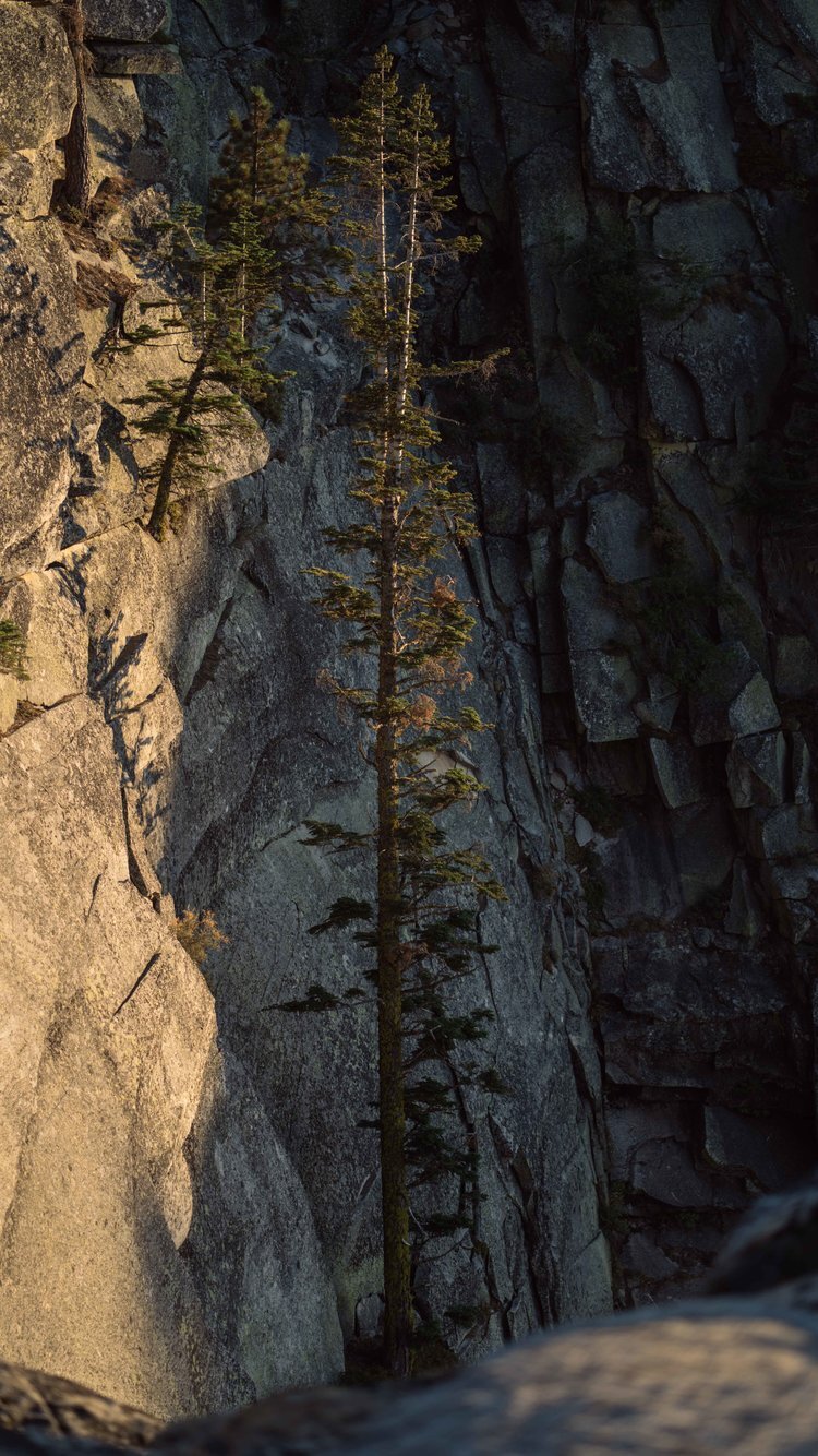
My day started as the sunshine began to creep through the window of the living room where I was staying. As it moved closer to the couch where I had slept the night before, I knew it was time to start moving. I had been staying with a friend near the town of Groveland, CA just outside Yosemite. After a quick breakfast, she drove me into town and to the Yosemite Area Regional Transportation System (YARTS) bus station. Once there I only had to wait a short while before the bus pulled up. I paid the four dollars that would get me inside the park and to Crane Flats Gas Station where I arrived at around 9:15 AM. Unfortunately, I wasn't starting my hike at Crane Flats but rather at Tuolumne Meadows, and the bus that would take me there wouldn't leave Crane Flats until 4:35 that afternoon. So instead of waiting around, I decided to try my luck hitching. I was waiting by the side of the road with my sign and my thumb out for not even twenty minutes before someone swung by and said they would give me a ride. The ride was just under an hour long and the person kind enough to give me that ride just happened to be a naturalist ranger for the park. We talked about the fires that had been raging in the park, and I was able to pick her brain about the area. Reaching Tuolumne, it was time to put the pavement behind me and get some dirt under my feet. I started off on the John Muir Trail (JMT) walking along the Lyell Fork of the Tuolumne River for around 3 miles before turning onto Rafferty Creek Trail. Soon after the trail junction I began to climb. The climb was gradual and it didn’t take long for the trees to become more sparse allowing for views of the surrounding area. And with those view came a small amount of dread and a choice. Off in the distance large dark clouds were forming. I have dealt with storms a lot on other trips, but I am still a bit anxious about them. I knew that the trail continued to rise to Tuolumne Pass, 6 miles from the last junction and about 1,325 feet of climbing before dropping about a mile back down to the Vogelsang High Camp. I wasn’t sure what I wanted to do: wait it out or charge forward. Luckily just around the bend I ran into a ranger who assured me that the pass wasn’t too exposed. With that knowledge, I decided to push on. Shortly thereafter it began to rain. Thunder could be heard off in the distance, but I never saw lighting. Once I made it down off the pass and to the High Camp, I took a trail back towards some lakes. I had made it just about as far as I was going to go that day, so I decided to head into a small grouping of trees. I curled up underneath one and took a nap to wait out the rain. About an hour later the storm had passed, and I was ready to find camp for the night. I knew there were a few lakes off trail, so I went exploring to find the perfect campsite for the night. I stumbled upon a decent sized lake, nice flat ground, and best of all no one else was around. I went to work setting up my tent and getting everything ready for the night. After that I still had plenty of daylight left for a swim before having dinner and calling it a night.

DAY TWO
LAKE CAMPSITE TO CLOUDS REST, 18 MILES, 3,215’ OF CLIMBING & 3,907’ OF DECENT
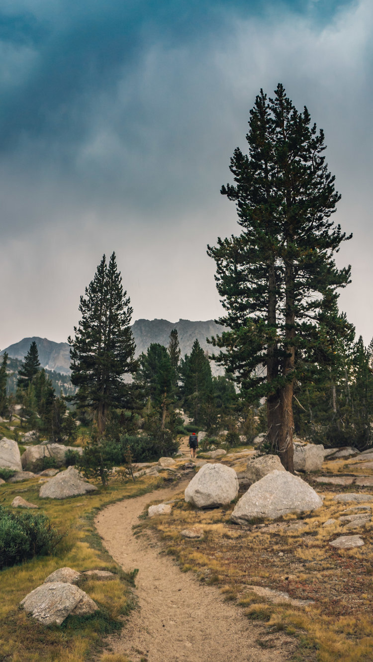
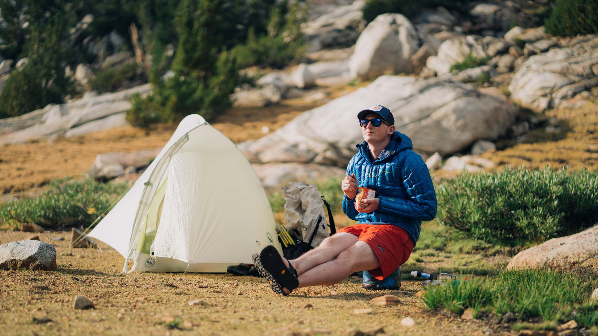
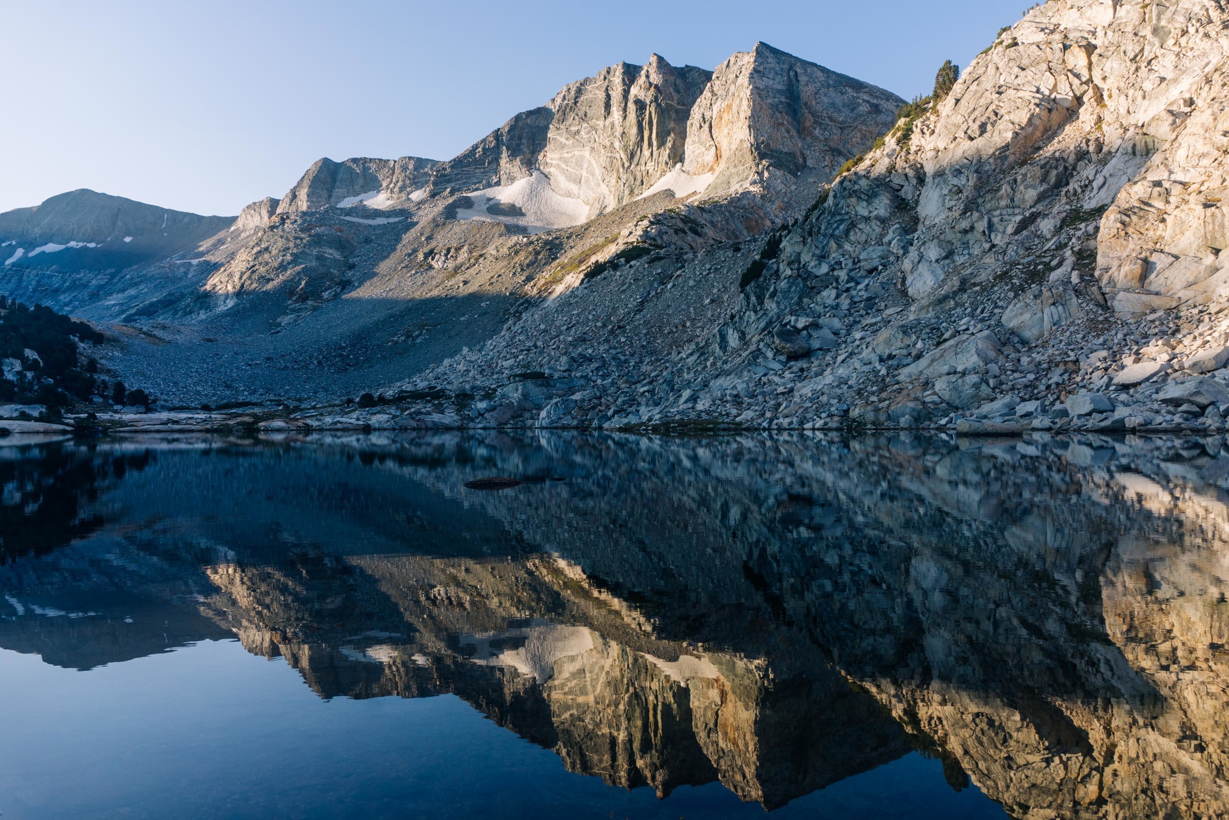
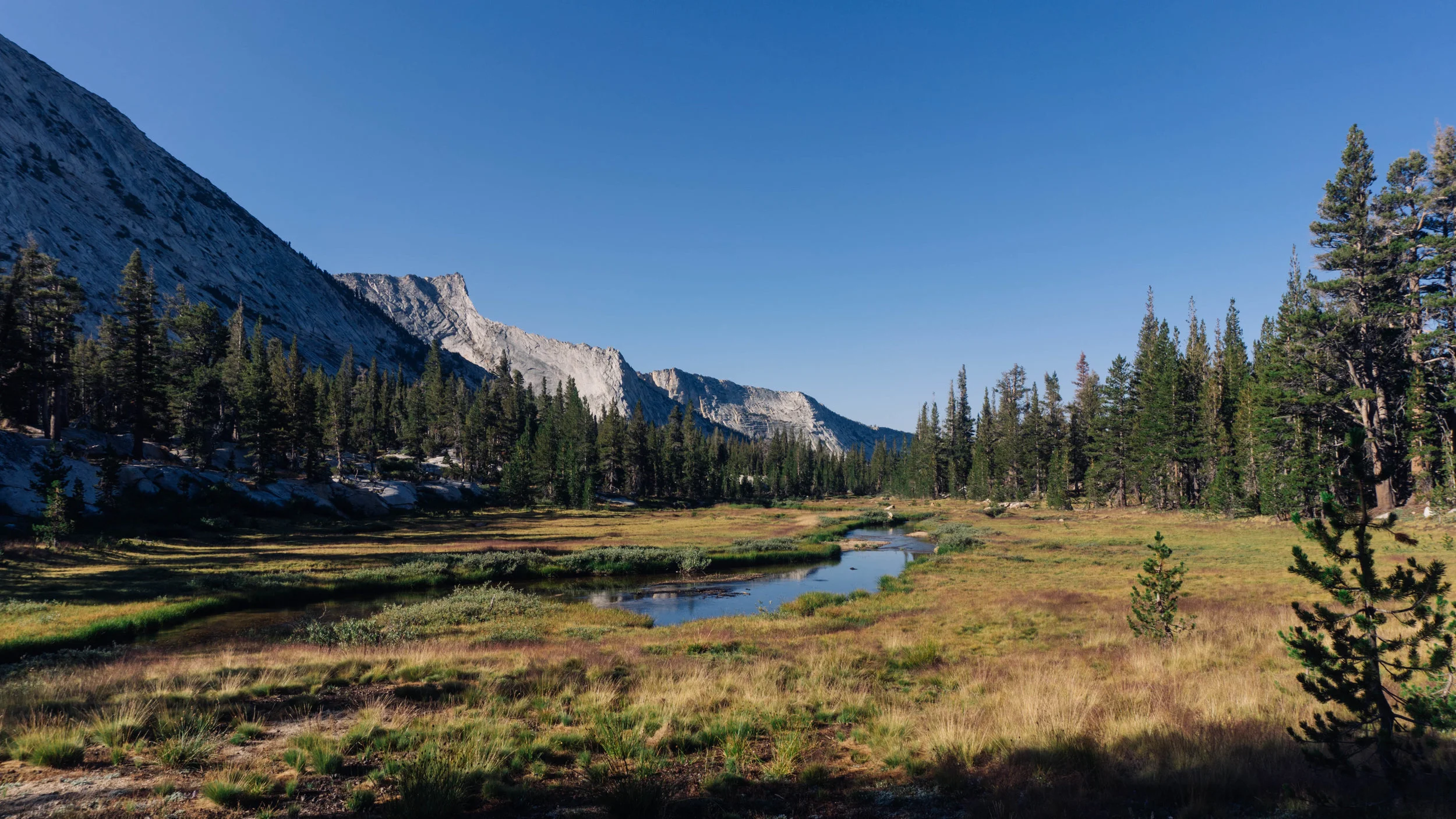
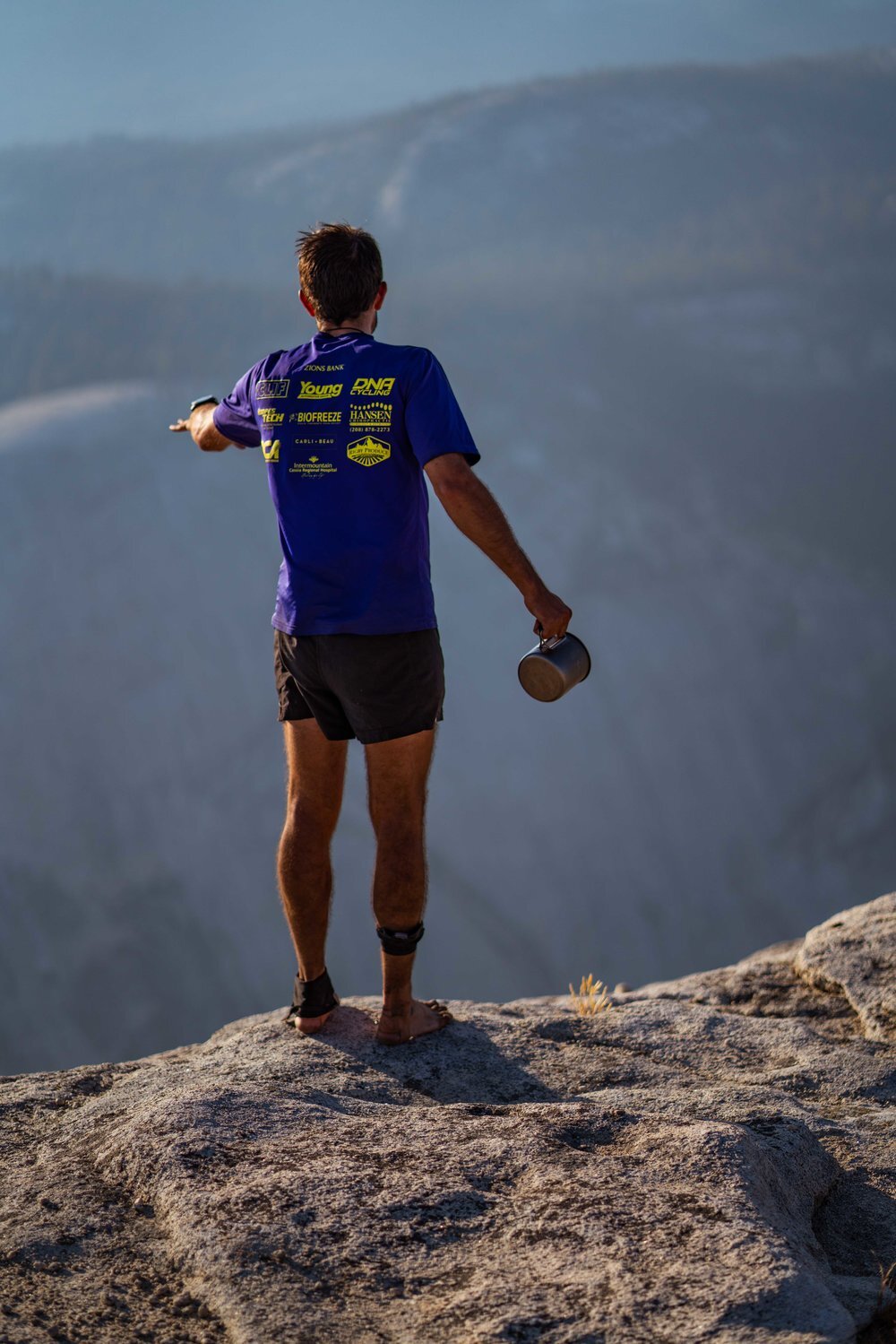
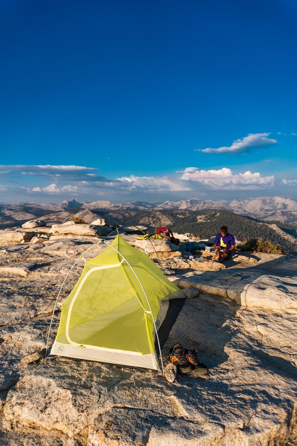
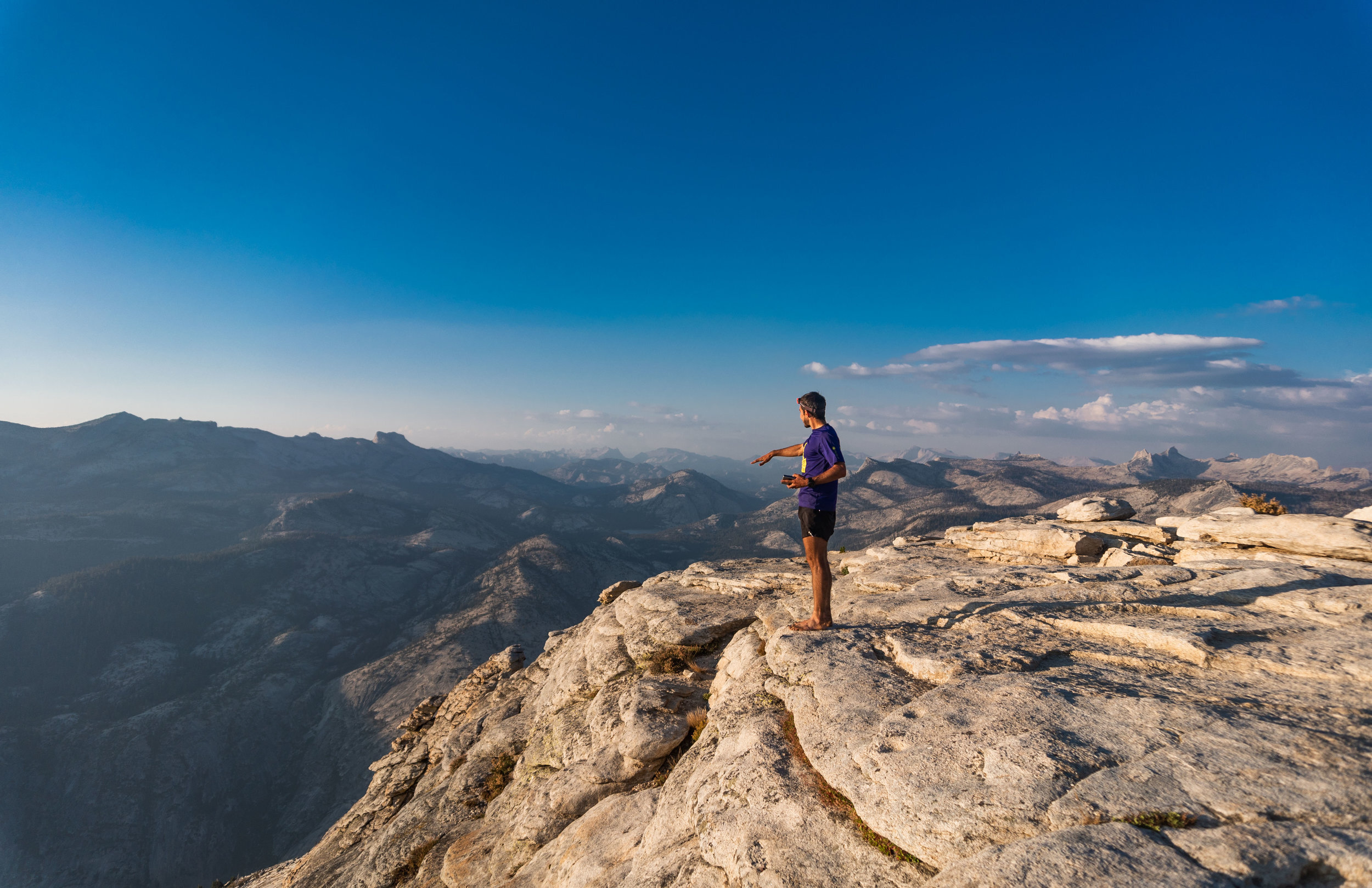
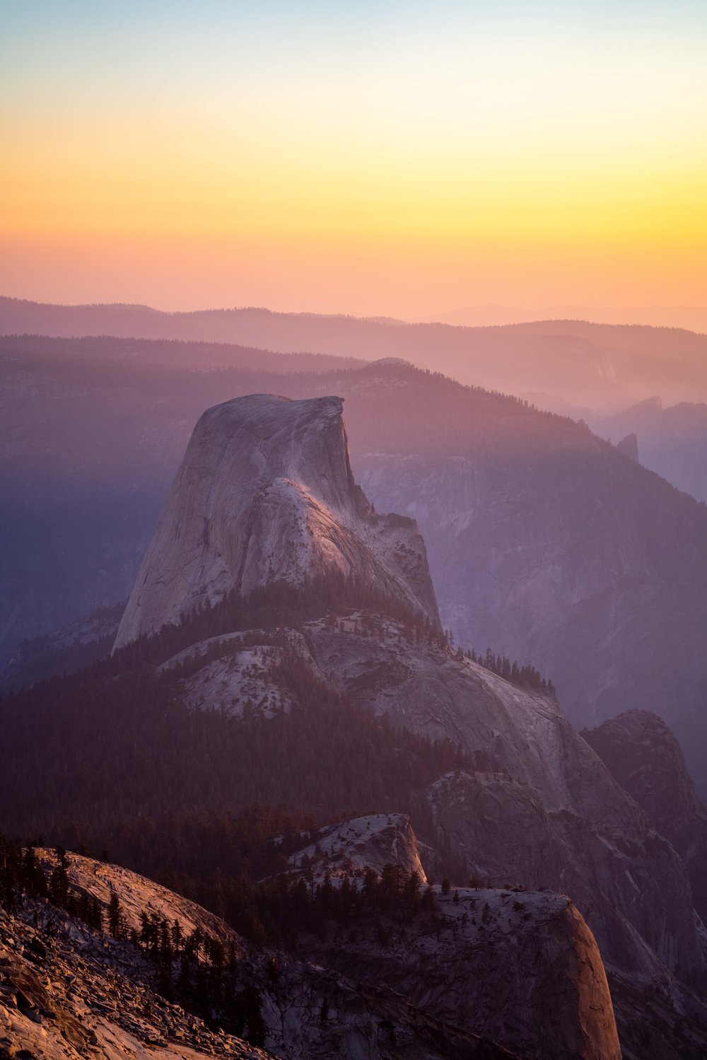
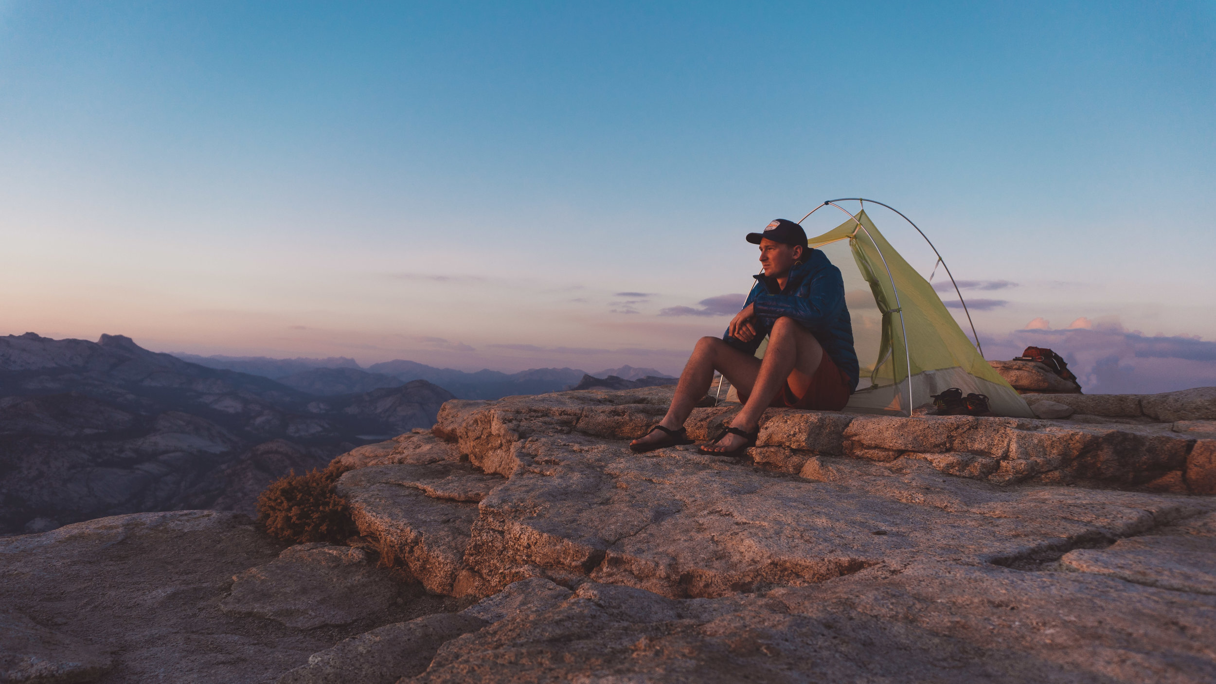
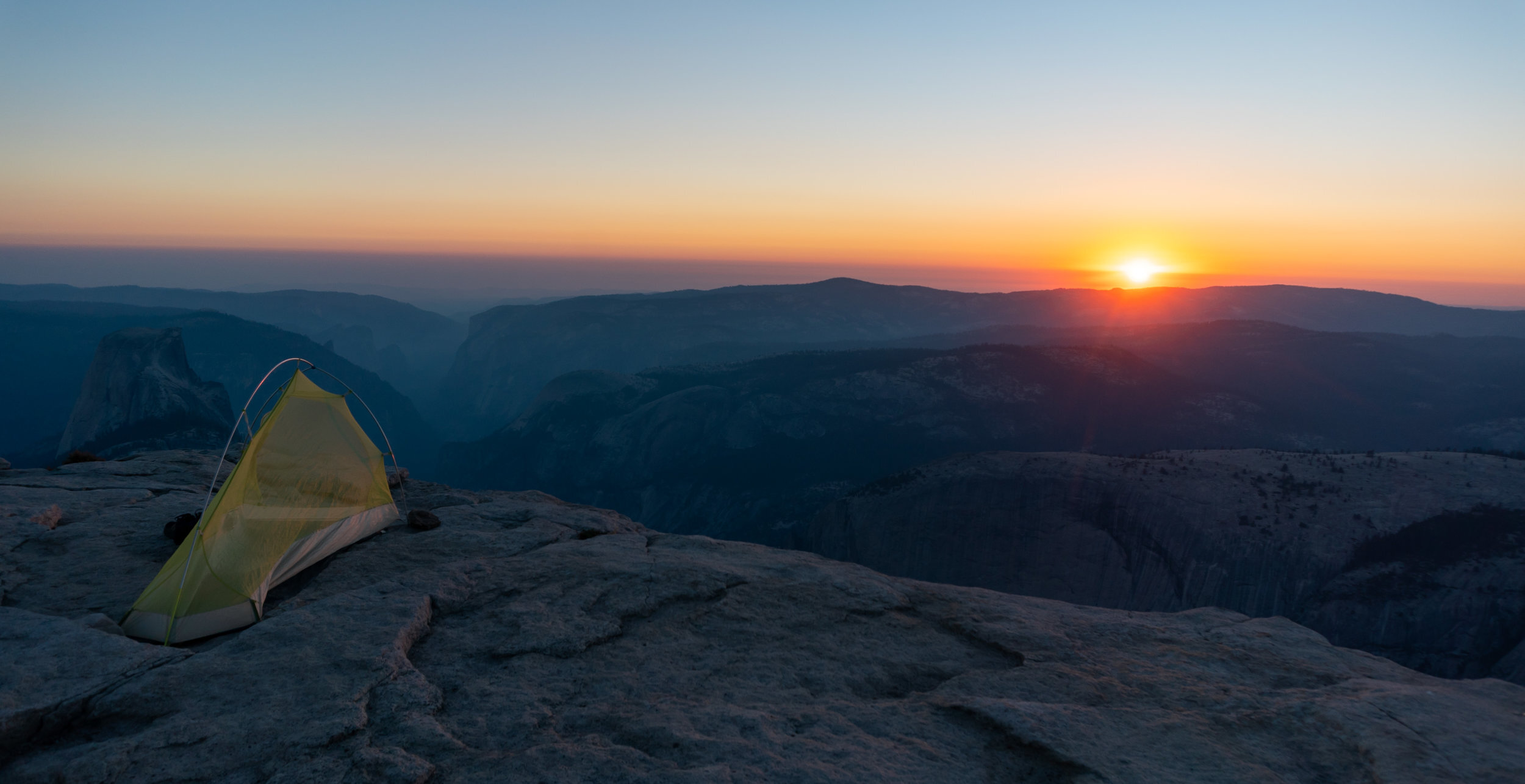
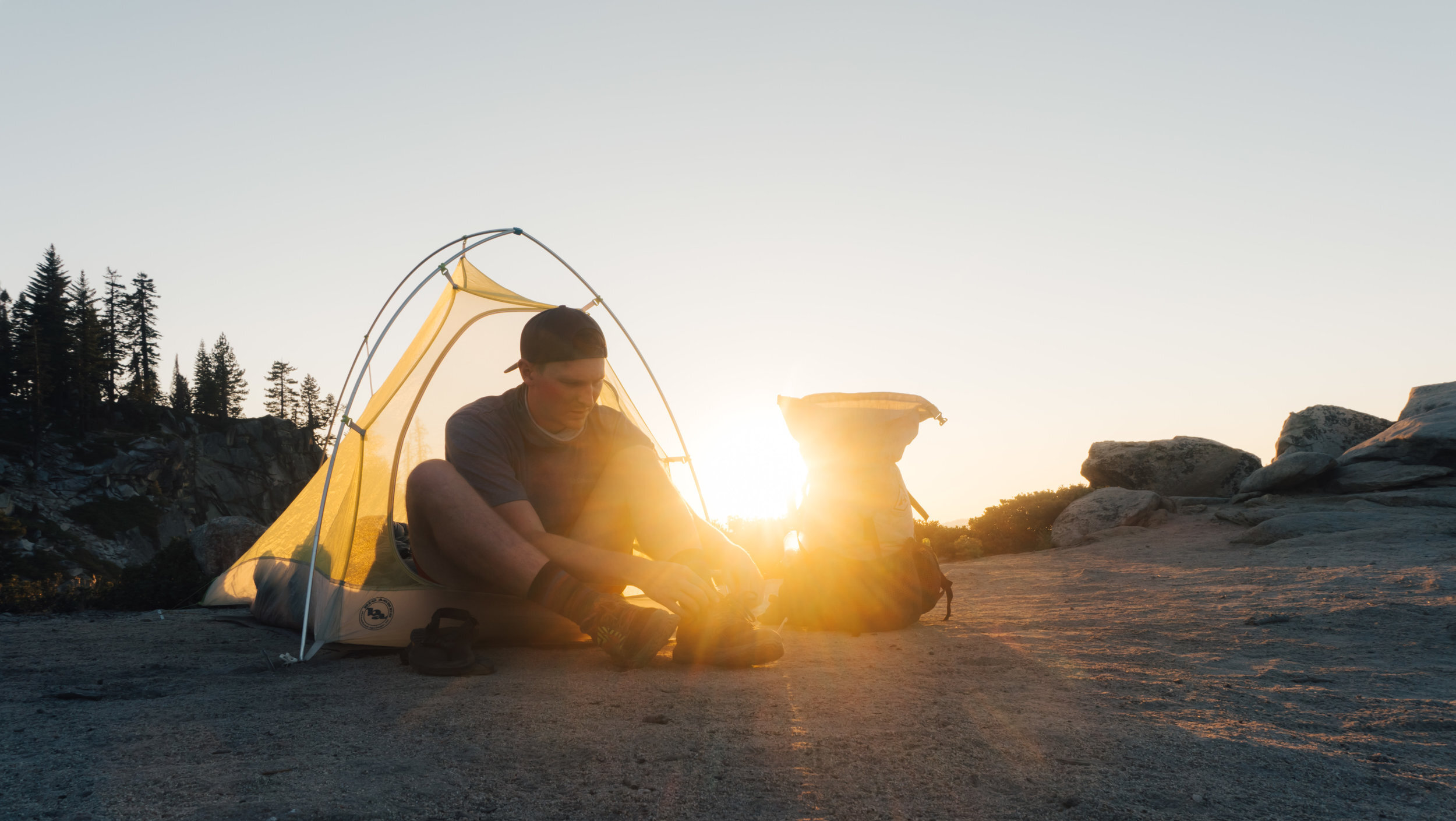
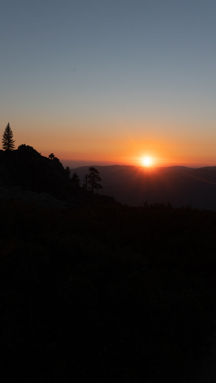
I woke up well before the sun. But since I didn’t have too far to go this day, I decided to curl back up and wait for the sun to crest over the distant peaks. And by the time I opened my eyes for the second time, it had. The problem with having an awesome sleeping set up it is always tough to get out of bed in the morning because it is so comfortable. But I finally unzipped my Pluton 40 degree bag and rolled off my AXL pad to get out of my Fly Creek. Some morning chores needed to be done before I could hit the trail, but after about another 45 minutes I found myself tossing on my pack and finding my way back to the trail. Once I was back on an actual trail it was time to put in some miles. I knew the morning would be mostly downhill so I could crank out some miles early on. Going back past Vogelsang High Camp there were a few trails that eventually would lead to the same place, but I decided to stay on the one to the right. On the 8 mile 3,000 foot decent to Merced Lake, I followed Emeric creek for awhile before passing through a field surrounded by granite peaks. After that my decent started to become much steeper, and the mountains seemed to surround me on my way down. Eventually, I reached Fletcher Creek which had many falls due to the steep area that it ran through. Once the terrain started to level out, I came to a grove of huge White Firs before I reached Merced Lake around noon and still had roughly 10 miles to reach where I wanted to camp for that night. But I decided to have lunch and refill on water there. I left Merced Lake and followed the Merced River until Echo Valley where I crossed Echo Creek. I had planned to get water there, but the creek was completely dry. I did not know where my next water source would be. I took a very overgrown connecter trail that was about 0.7 miles up to another trail that would get me to my junction with the JMT. This 3.1 mile stretch of trail was relatively flat, but parts of it had been a burn area from years past. The sun was beating down quite intensely, but it did offer slight views into the valley below. Once I reached the JMT, I hopped on it for a very brief 0.1 miles before getting on the Pack Trail for 2.4 miles. This was some tough hiking because much more recent burns made the ground soft, and it was like walking in sand. Luckily, when I came upon Sunrise Creek it was flowing well. I took a break and got water before climbing the final 1,857 feet over 4 miles to Clouds Rest. While I was getting water I heard a huge crash off in the distance and assumed it was a tree that had fallen because of the forest fires. About 30 minutes later, a Ranger confirmed my assumption. The final stretch was a bit difficult since I was definitely not in hiking shape and it had been a decently long day. Reaching the top of Clouds Rest though made it all worthwhile: the endless view down into The Valley and the Cathedral Range lining the sky where I had come from. For a few moments I had the place all to myself before a fellow hiker who was about to complete the JMT decided to spend the night up there as well. While being alone can be nice sharing these magical moments can make it more special even if that person is a stranger. We took in the view. Then I set up my tent because even though we were at 9,926 feet, the mosquitoes were still bad. The sunset was a nice orange glow due to the active fires not far away. As the light began to fade, I crawled into my tent exhausted and reluctantly set an alarm for 1 AM to capture the Milky Way over Half Dome.
DAT THREE
CLOUDS REST TO DEWEY POINT, 20 MILES, 4,000’ OF CLIMBING & 6,500’ OF DECENT
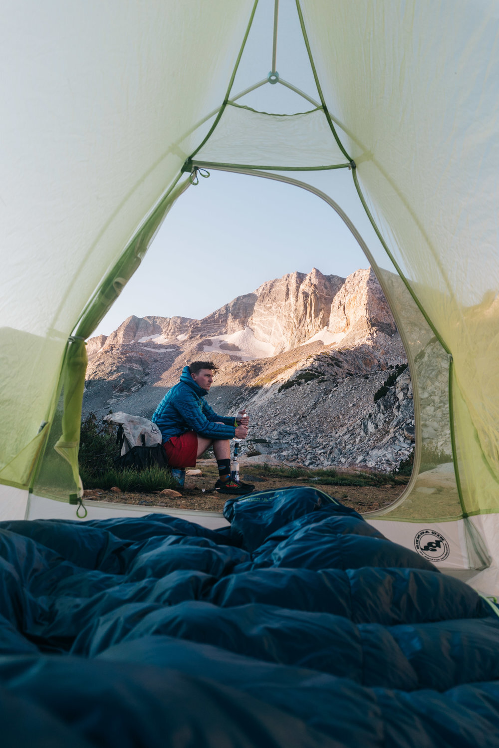
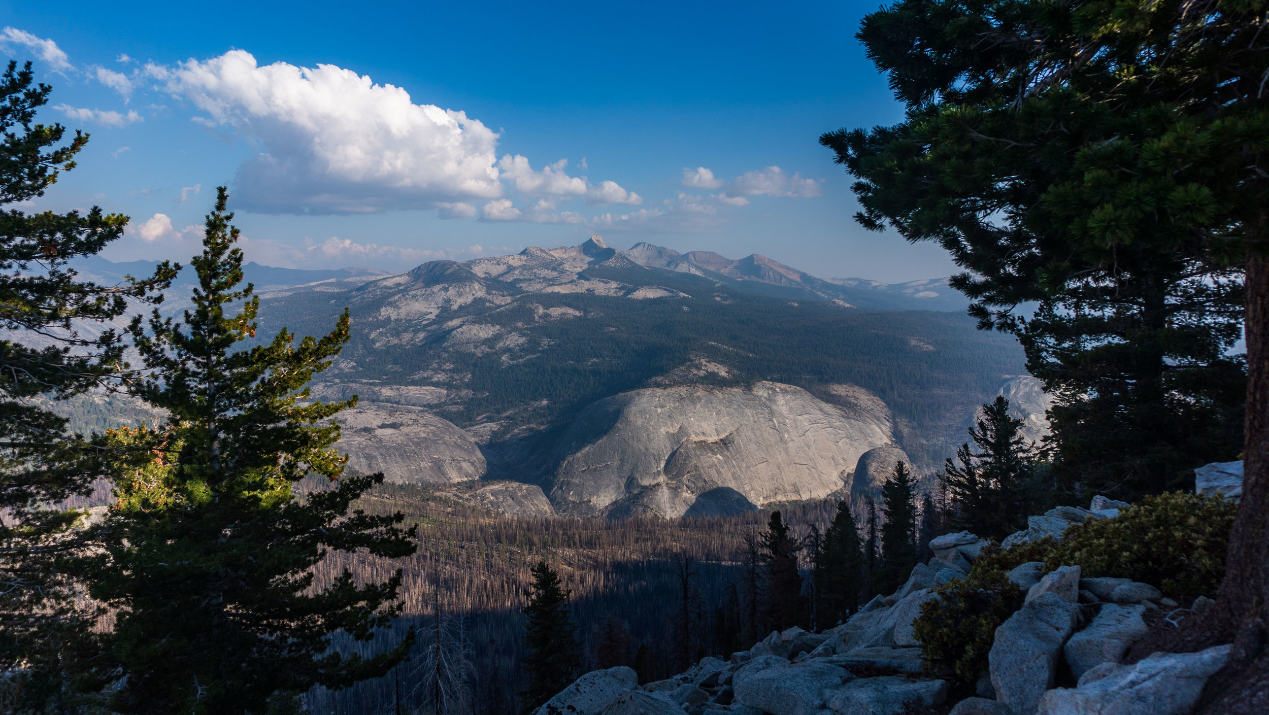
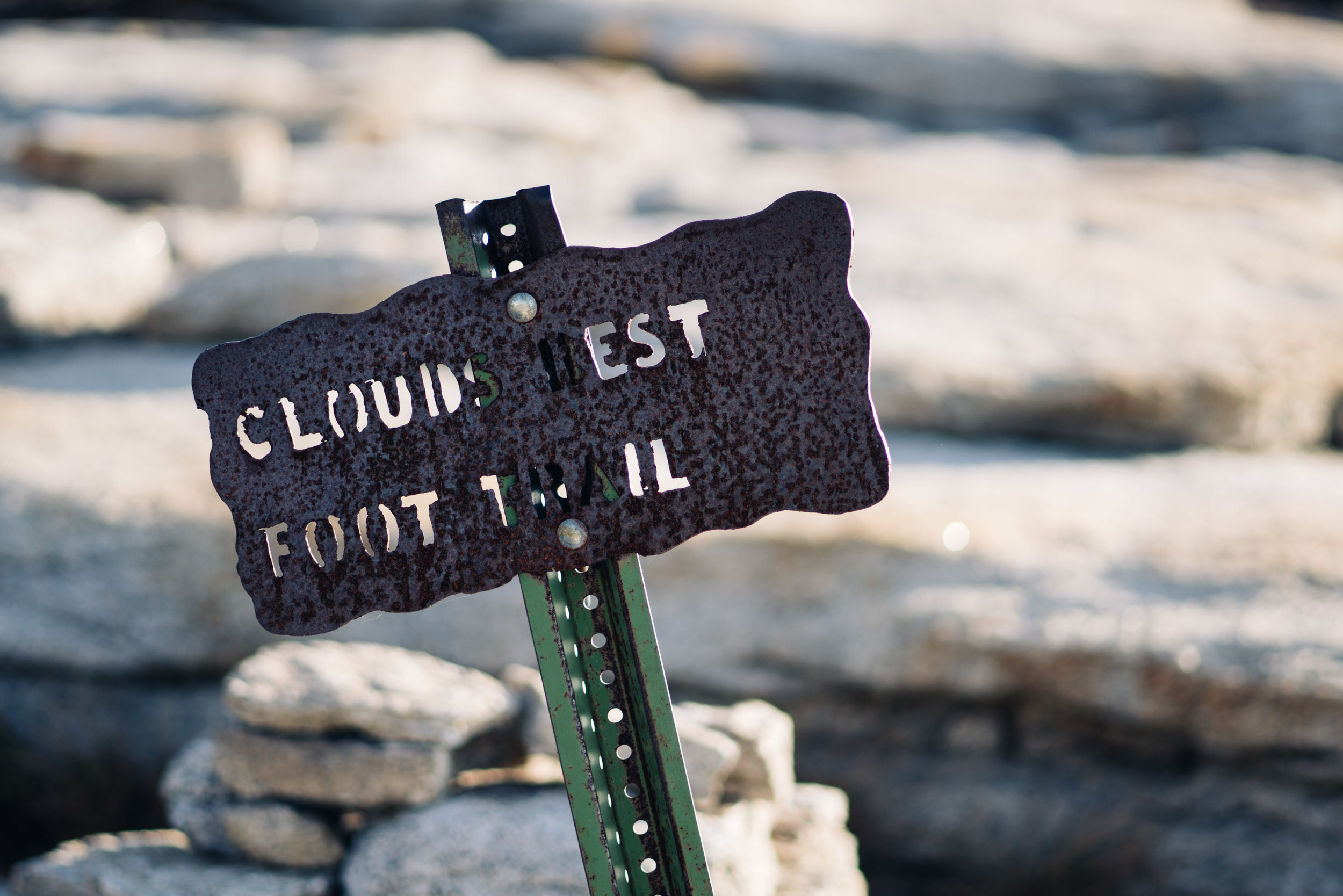
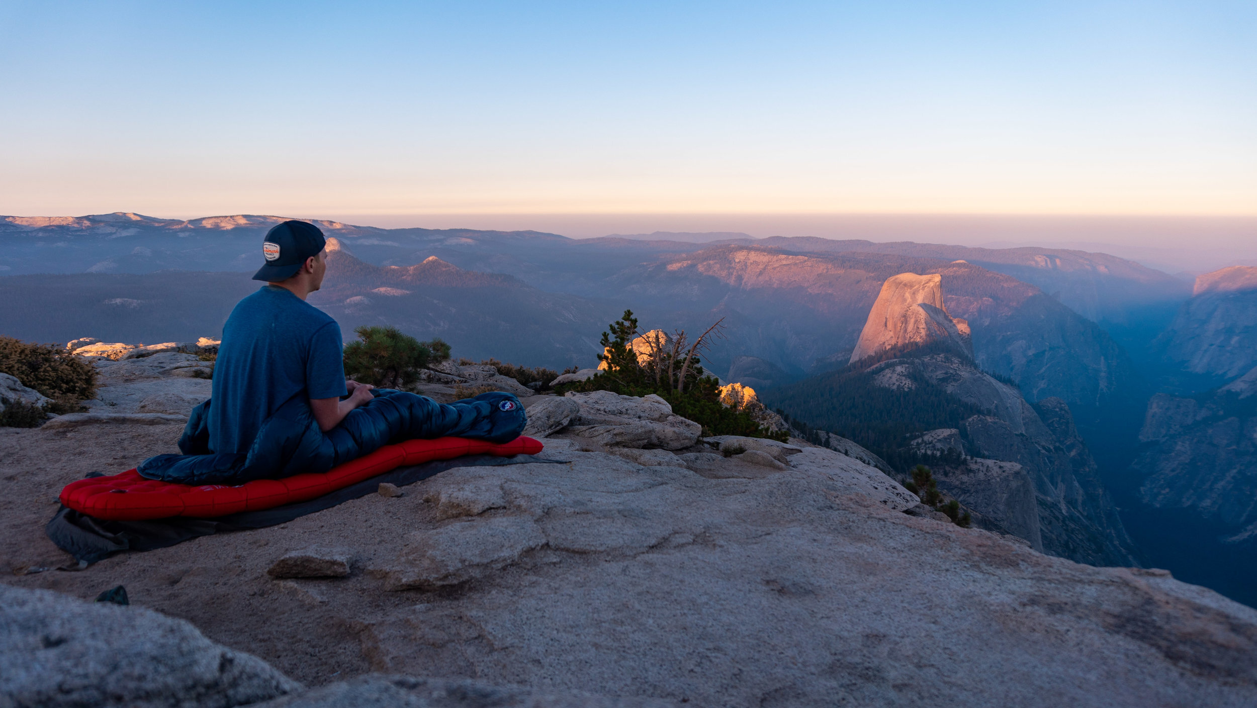
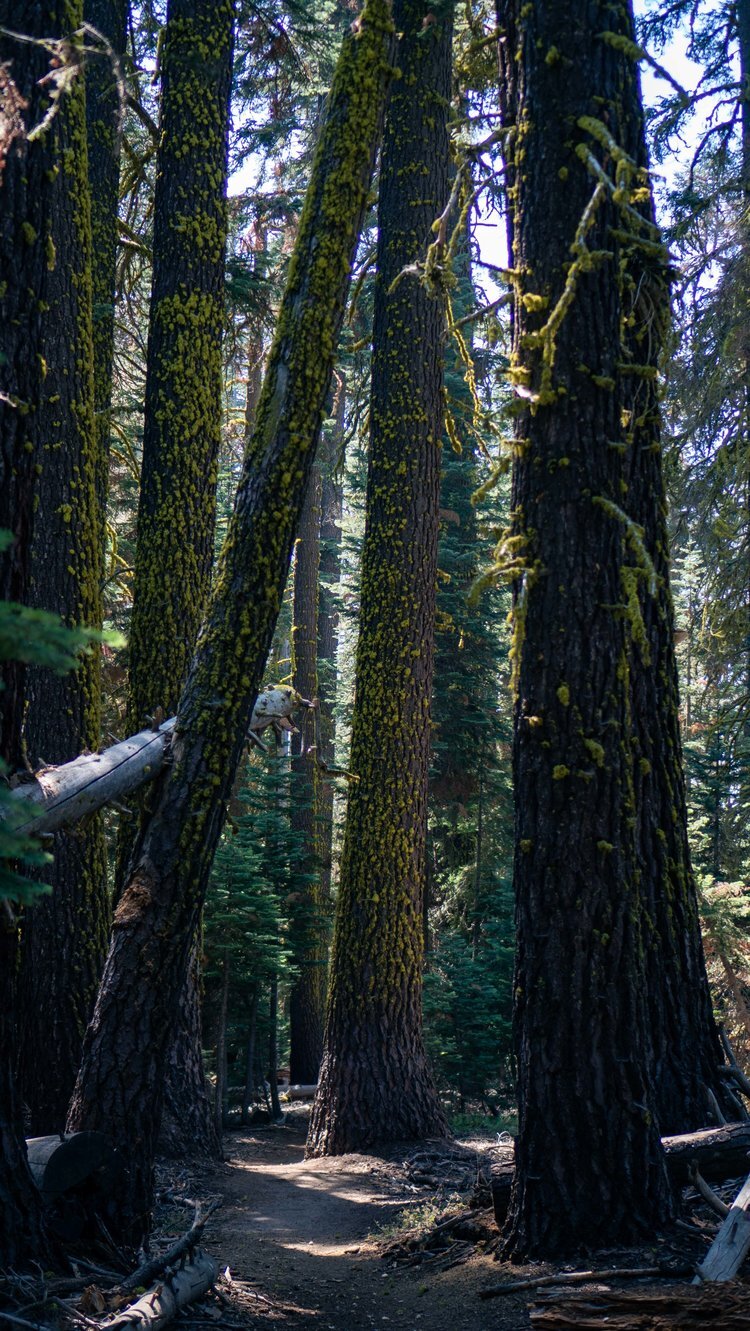
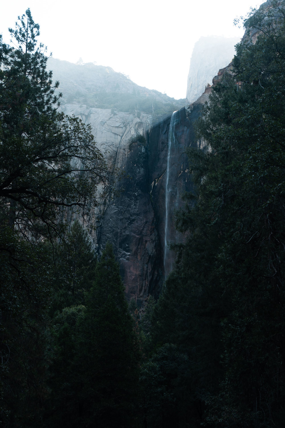
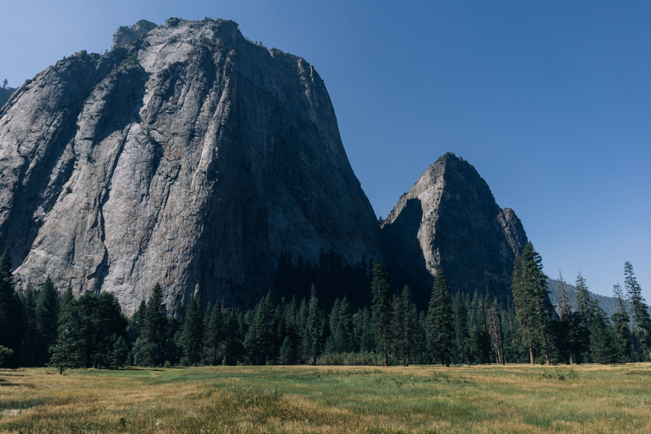
After taking some long exposure photos of the night sky there was still enough time to get some sleep before the sun began to rise. I got back into my tent but found it hard to sleep with what I had just witnessed rushing through my head. After finally dozing off, I awoke and stuck my head out of my tent to see the sun beginning to rise. I quickly pulled my sleeping pad and bag out of my tent to enjoy the view and eat breakfast. Leaving Clouds Rest was the hardest part of this trip hands down, but I knew that I had another full day ahead of me, so I packed up camp and started the hike off of the summit. It was 3.2 miles and 2,536 feet of descent with many beautiful views of Quarter Dome and Half Dome until I hooked back up to the JMT for the next stretch of the hike. After passing the turn off for the Half Dome Trail, I felt like a salmon swimming upstream through all the hikers who were hoping to reach the top of Half Dome that day. I stayed on the JMT for 3.6 miles going through Little Yosemite Valley, crossing the Merced River right above Nevada Falls before hopping onto the Panorama Trail. At first it did not live up to its name, but after making the climb from Illilouette Falls I began to see how it got its name: sweeping views of the valley below with Half Dome rising to the sky and Nevada and Vernal Falls glimmering in the sunlight off in the distance. I continued on the Panorama Trail for awhile before reaching Glacier Point, which was amazing but also very crowded. I stuck around for a good while appreciating in the view, eating lunch and filling up on water. After leaving Glacier Point, I took the Pohono Trail and quite quickly was surrounded by towering Jeffery and Red Pines. It reminded me of walking through the Northern California section of the Pacific Crest Trail. It was 3.5 miles from Glacier Point to reach Taft Point which also had superb views but with no crowds at all. My only companion at the Point was a raven who croak a few times before descending through the air to a lower point and all I could think of was how amazing it would be to soar through the valley like that. After the raven flew away, I approached the edge of the point with only a small railing separating me and the valley floor: I took a small step back. I was beginning to get quite warm baking in the sun and wanted to get back into the shade. I knew about 2 miles down the trail was Bridalveil Creek which had a footbridge to cross. I was hoping it was deep enough to swim in allowing me to take off some of the dust and sweat that I had built up throughout the day. I was in luck-the creek did not disappoint. I quickly jumped in and cooled off. I had originally planned on camping right by the creek but there was still plenty of daylight, so I decided to push on a bit longer. I made it to Dewey Point about two miles from the bridge. And the extra miles were definitely the right choice: astonishing views of the Valley especially El Cap and once again it was like I was the only one in the park. I felt at peace as I set up camp and then watched the sun set on my third and final full day in Yosemite.

DAY FOUR
DEWEY POINT TO YOSEMITE VILLAGE, 12 MILES, 1,160’ OF CLIMBING & 4,380’ OF DECENT
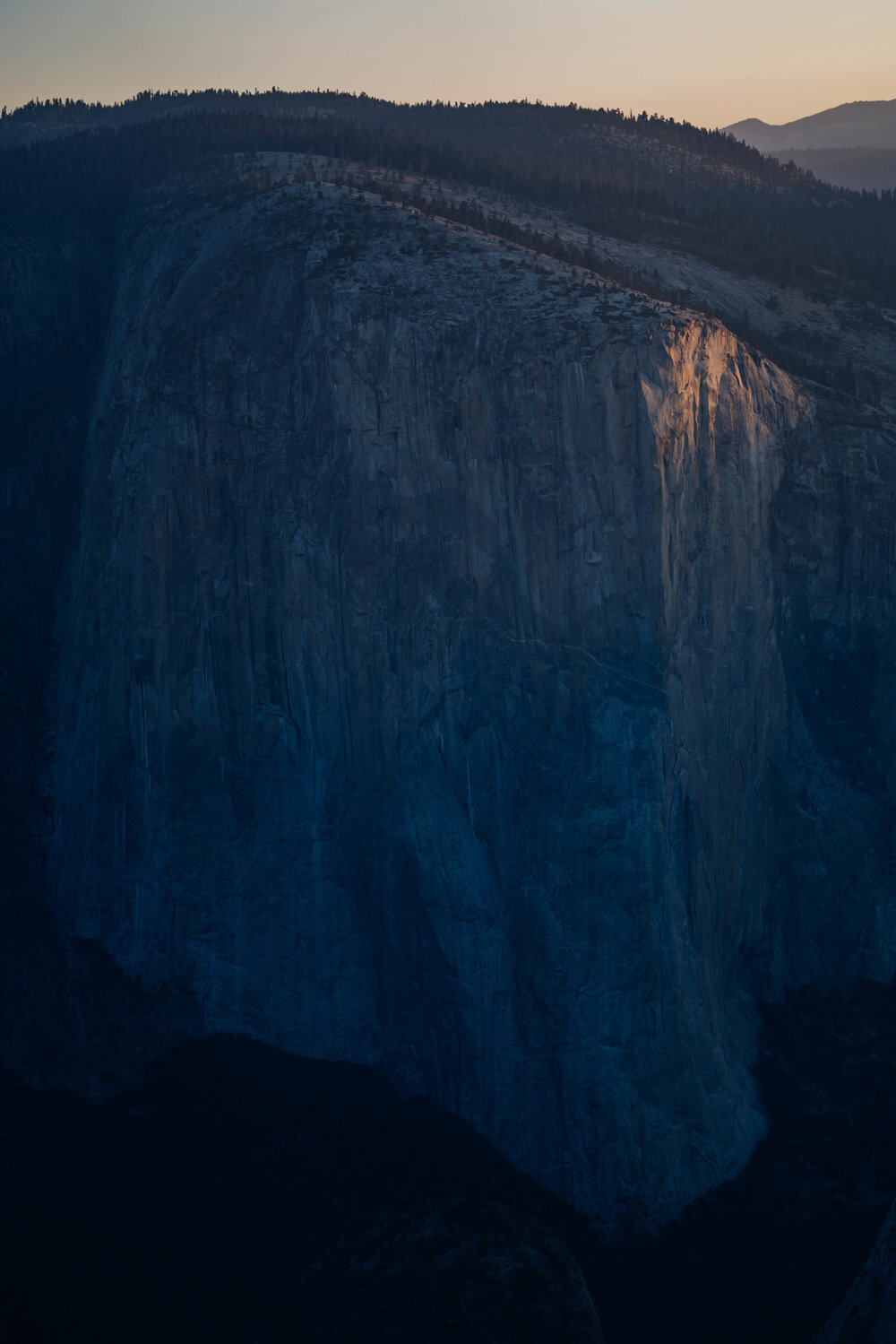
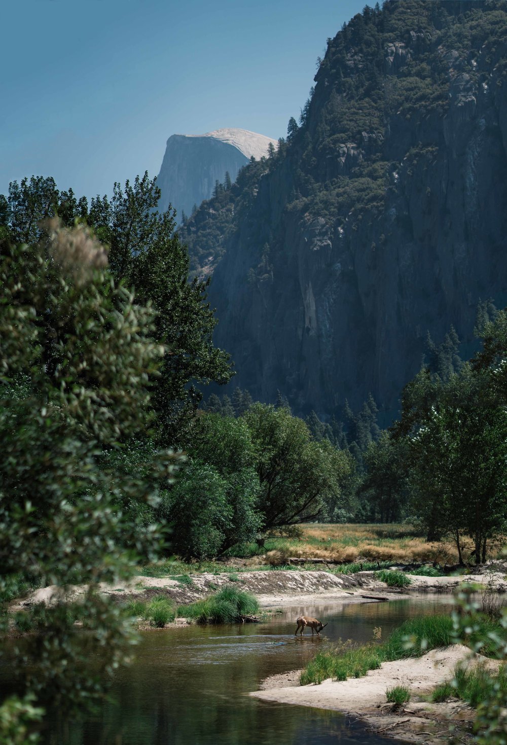
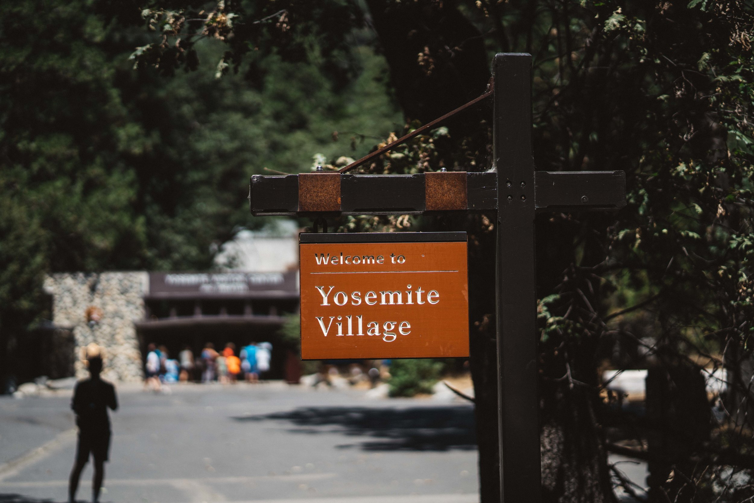
In the morning I got to see in person how the Dawn Wall on El Cap got its name. As much as I did not want to leave the peaceful solitude that this part of the park provided, the call of real food was much stronger which meant having to drop down to the Valley and the crowds of people. From Dewey Point, I stayed on Pohono Trail until reaching Old Wawona Road and old was quite an understatement. It was all broken up and very overgrown, but I only had a mile and half before reaching the actual road. Once on that it was another half mile before arriving at Bridalveil Falls trailhead and the hoards of people. I took the short trail up to the falls where I saw many people getting off trail and slipping on all of the slick rocks. I quickly took a few photos of the falls before retreating back into the woods where the people thinned out considerably. From there I took the Valley Loop Trail 2 miles to the base of El Cap where I took a break to watch some people climb for a bit. After throwing my pack back on, I was 3.5 miles from the end of my trip and a burger. As beautiful as the Valley floor is with the Merced running through it and the huge granite walls that reached for the heavens, I was not in the right mental frame of mind to take it in, so I promised myself that I would return one day sooner rather than later. Reaching Yosemite Valley Village I quickly bought a way overpriced burger that was worth every penny. With a few hours to kill before my YARTs bus arrived to take me back to Groveland, I decided to take solace in an air conditioned theater where I watched two short movies: one on John Muir and the other on Yosemite in general. This brought a few tears as I contemplated just how sacred this land truly is. Finally I went to wait out the rest of my time at the bus stop. As the bus began to pull out of the valley, I could not stop my eyes from slightly watering up again because of how sad I was to leave such an amazing place. I reminded myself that I would be back to explore the many more places that are Yosemite.

If you would like more info about this trip feel free to send me a message or drop a comment below. And if you want to see the rest of the photos of CLICK HERE!